

 BLOG
BLOG
 GALLERY

 Search
 Links
Links FAQ
FAQ

City Views #990: Fisheye Stroll 13
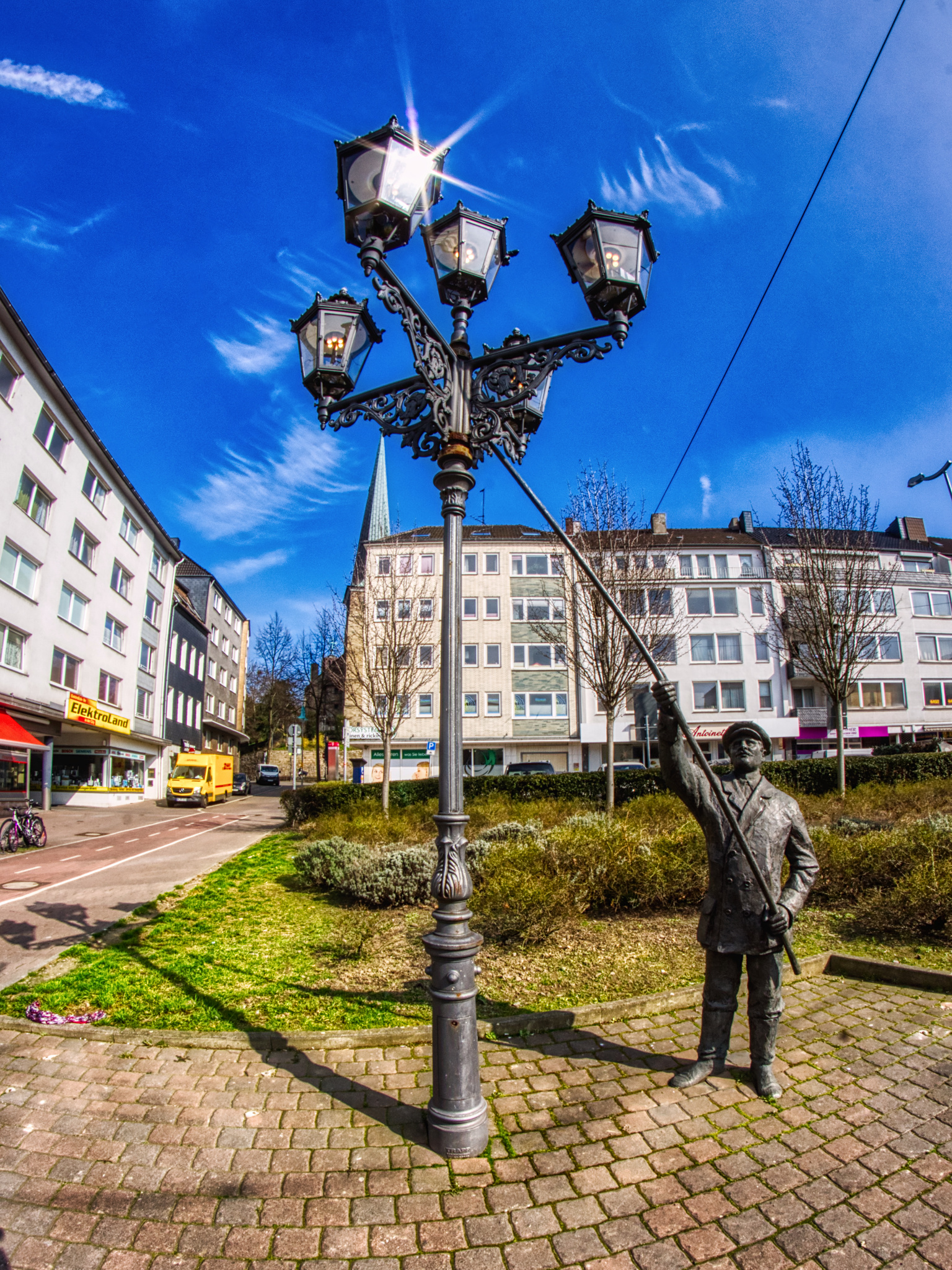
The last remaining gas lantern of Mülheim and a statue of a lantern lighter.
« Google Maps » | Date: 24.03.2021
Comments off
The last remaining gas lantern of Mülheim and a statue of a lantern lighter.
« Google Maps » | Date: 24.03.2021
Comments off
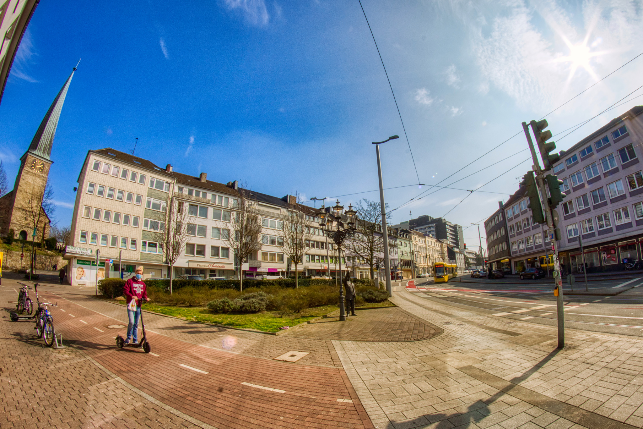
The little square where Mülheim’s Friedrich-Ebert-Strasse turns into the Friedrichstrasse. On the left you can already see the Petrikirche, that’s where we’re going next!
« Google Maps » | Date: 24.03.2021
Comments off
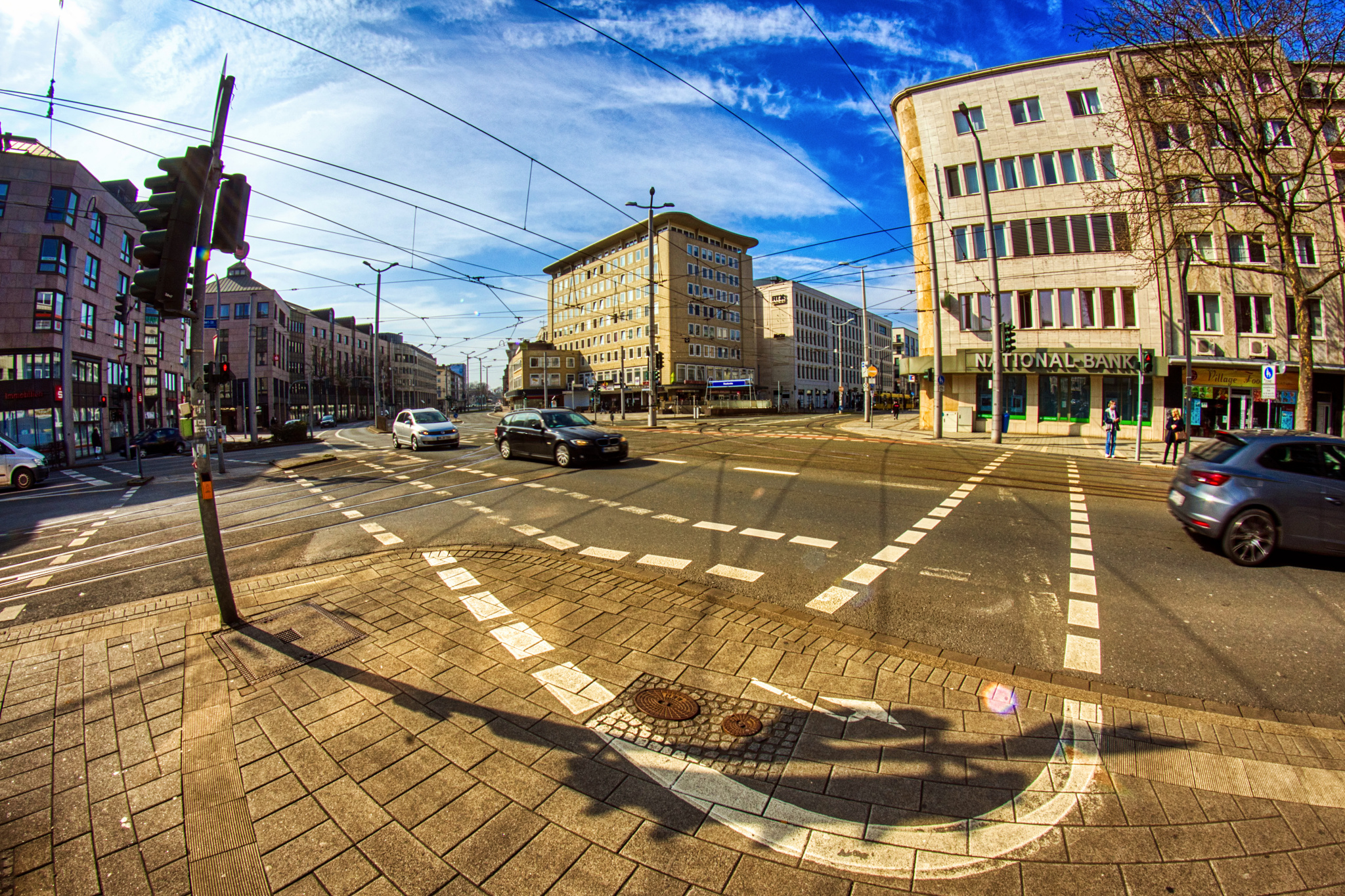
The intersection between Mülheim’s Leineweber- and Friedrichstrasse with the not easy to navigate bicycle path!
« Google Maps » | Date: 24.03.2021
Comments off
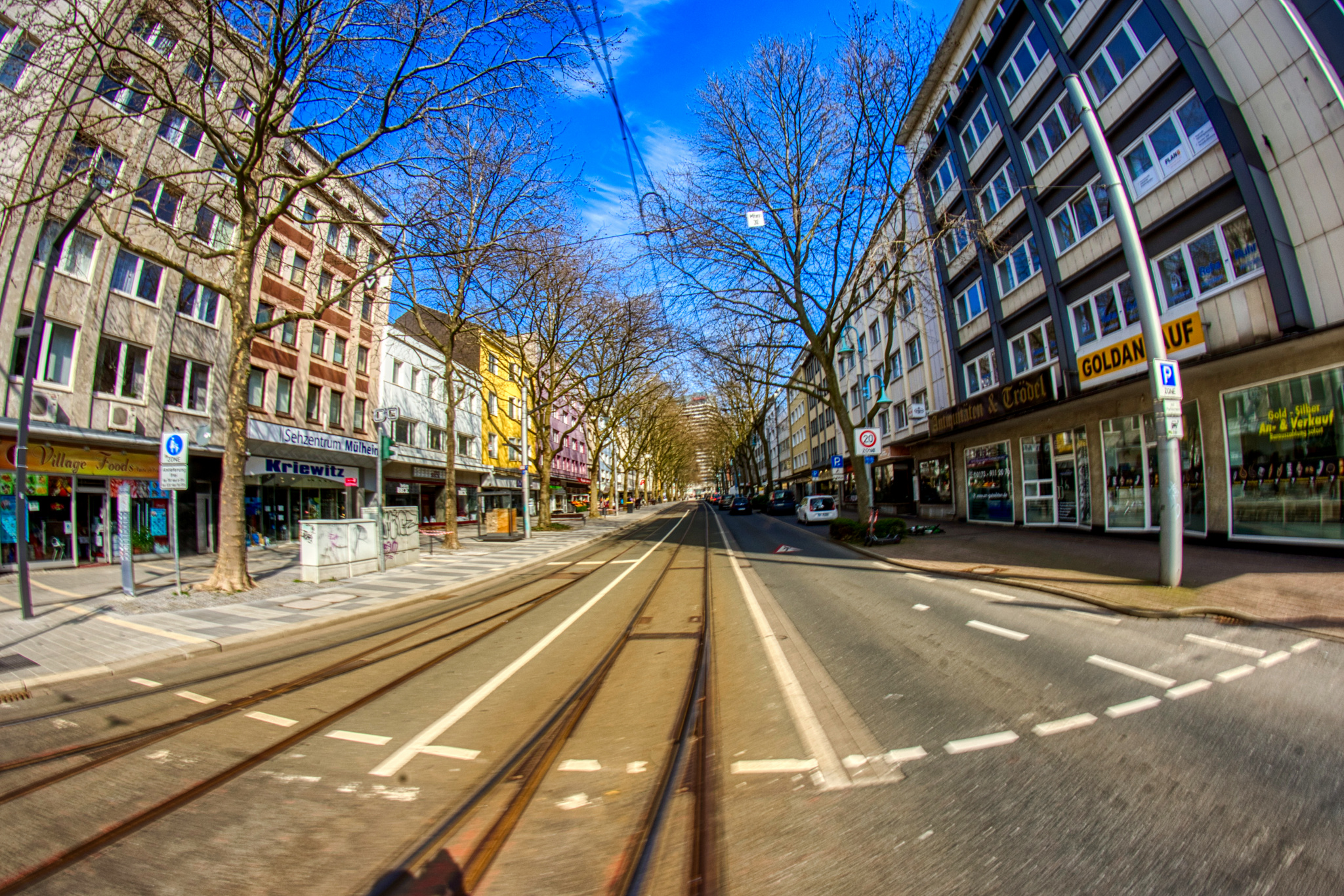
Looking along Mülheim’s Leineweberstrasse in a car-less minute to keep the photographer safe! It’s also usually a very green street, but back about four weeks ago in March the trees were still bare.
« Google Maps » | Date: 24.03.2021
Comments off
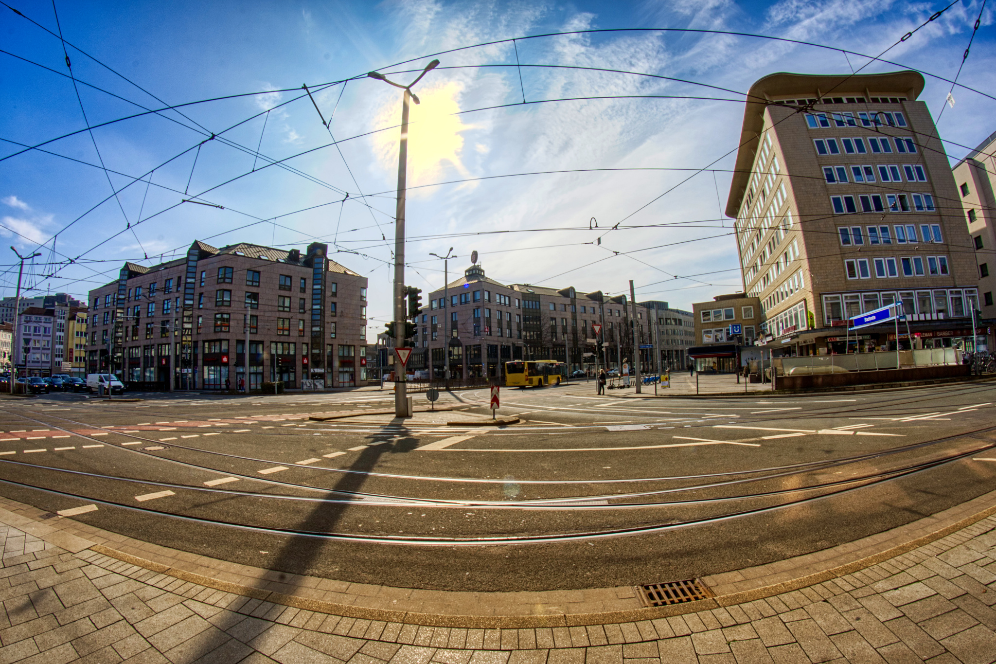
Across the street is Mülheim’s Berliner Platz with the Sparkasse, to the left is the unmistakeable shape of the Rieken-Haus, built in 1955 almost simultaneously with the Kaufhof – and survived it.
« Google Maps » | Date: 24.03.2021
Comments off
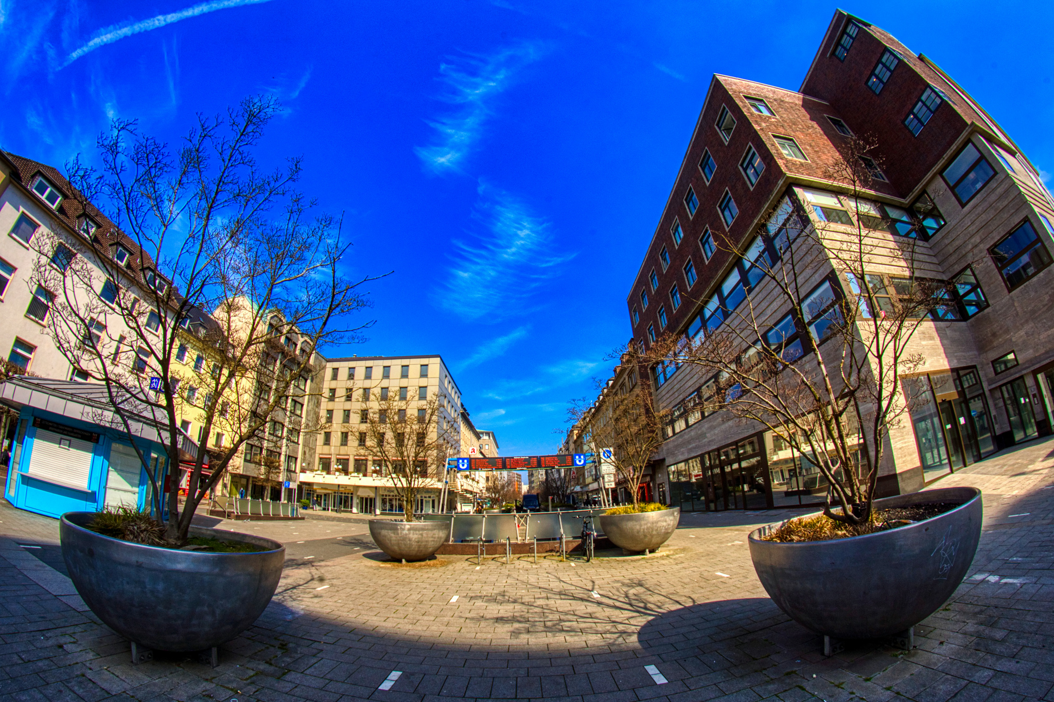
A view up Mülheim’s Schloßstraße from the West end, which is now largely empty.
« Google Maps » | Date: 24.03.2021
Comments off
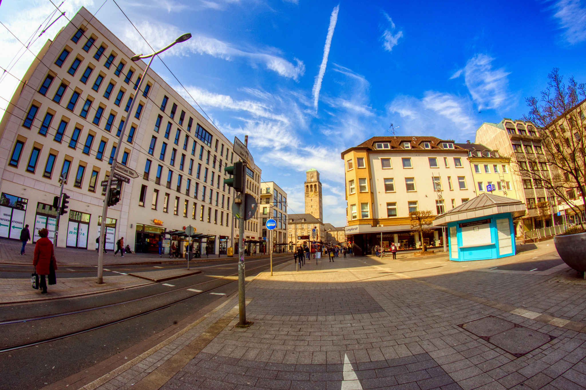
Looking along Mülheim’s Friedrich-Ebert-Strasse – on the left is the site of the former Kaufhof department store.
« Google Maps » | Date: 24.03.2021
Comments off

The gap in the new building complex on the former site of Mülheim’s Kaufhof could have been a bit wider.
« Google Maps » | Date: 24.03.2021
Comments off
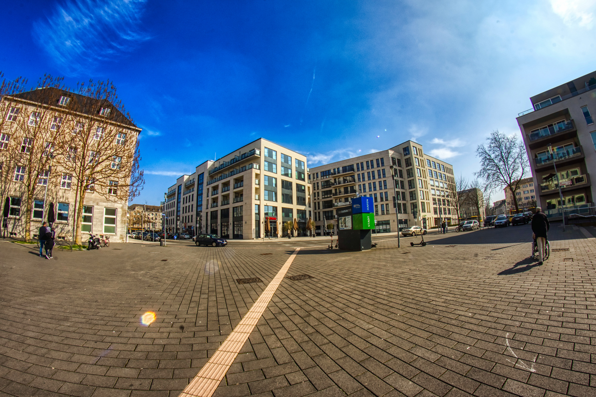
The reverse view from the Riverfront where Mülheim’s Kaufhof used to be.
« Google Maps » | Date: 24.03.2021
Comments off

Only a few dozen meters from Mülheim’s Friedrichstrasse is the riverfront!
« Google Maps » | Date: 24.03.2021
Comments off