BLOG
BLOG
 GALLERY

 Search
 Links
Links FAQ
FAQ

City Views #872: Rumbachtal 9
Comments off
Comments off

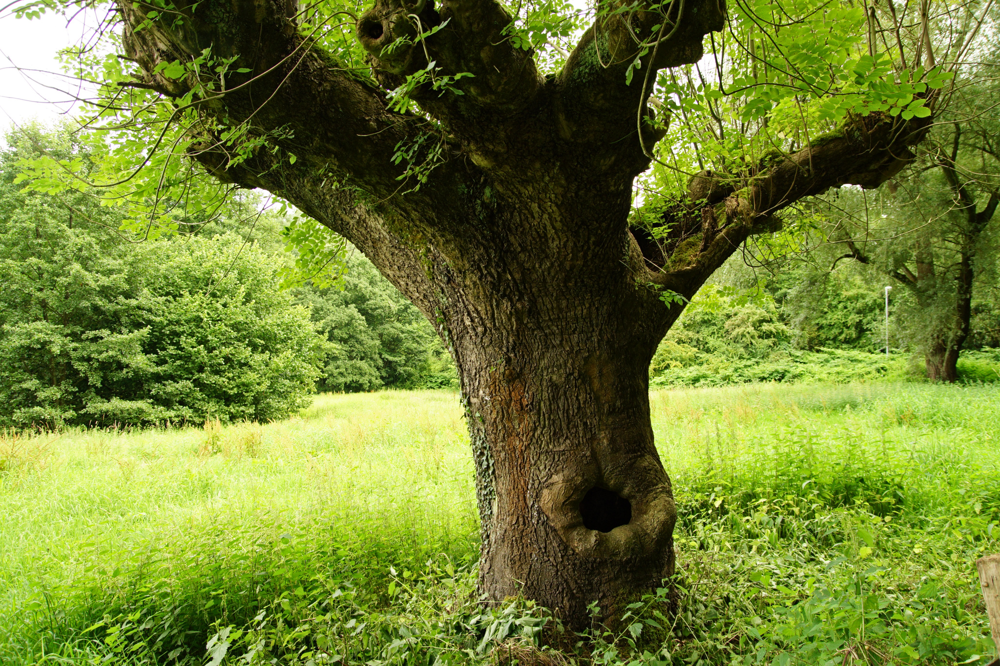
Only a few dozen meters into Mülheim’s Rumbachtal and it almost feels like deep in the woods.
« Google Maps » | Date: 17.08.2017
Comments off
Comments off
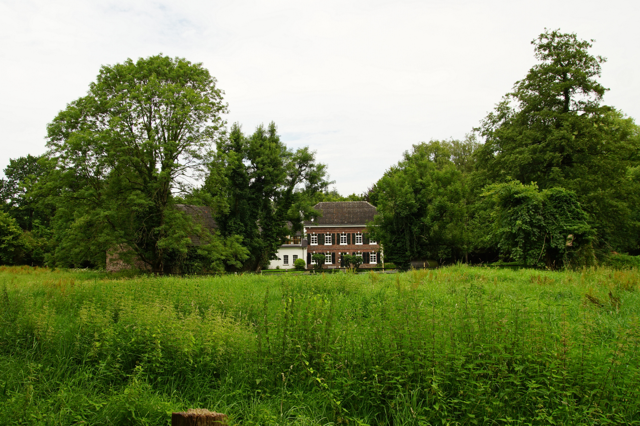
Looking over to the other side of Mülheim’s Rumbachtal, you can see the houses of the Walkmühle, the site of an historic watermill going back to the 1600s powered by the nearby Rumbach.
« Google Maps » | Date: 17.08.2017
Comments off
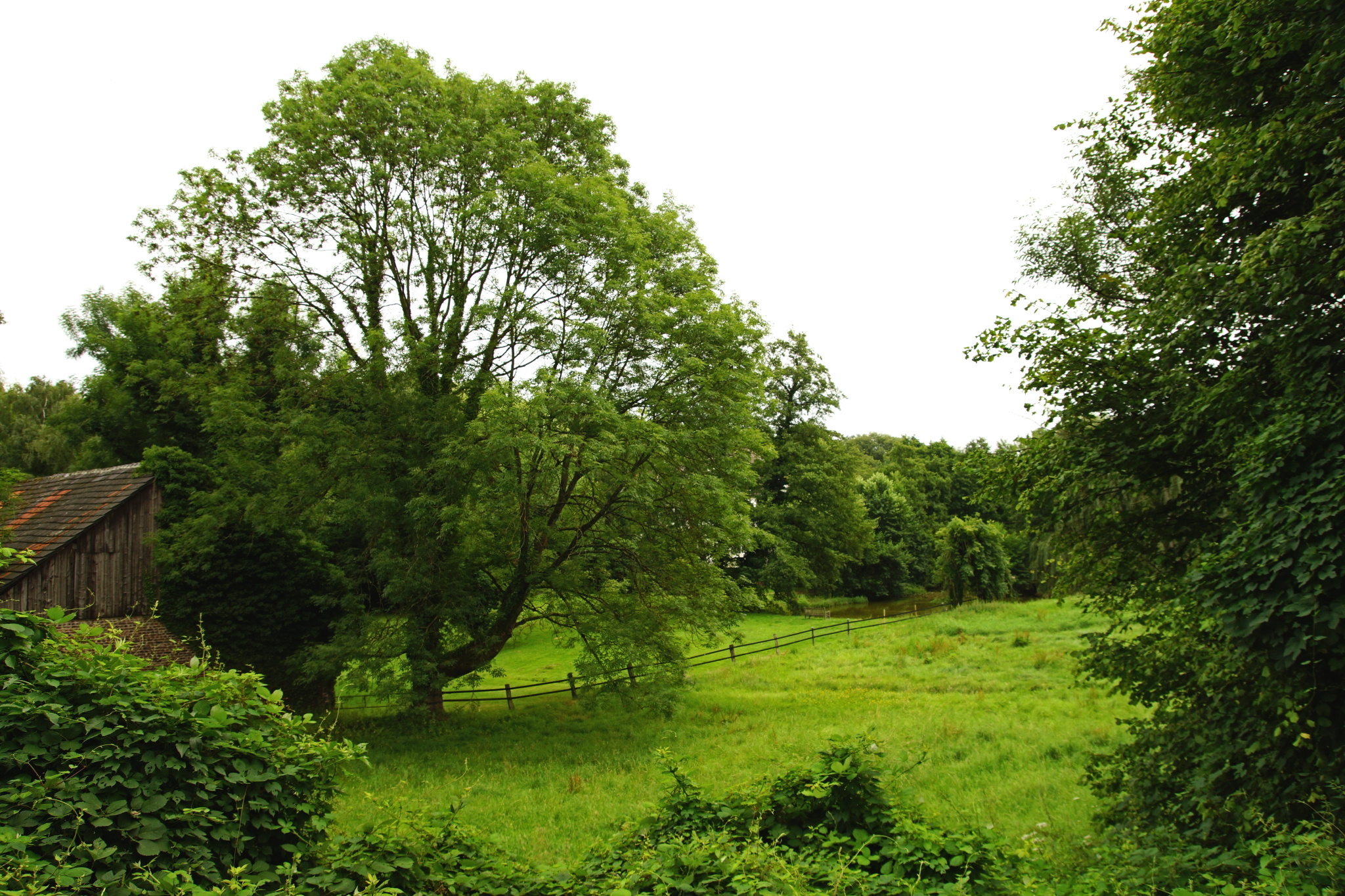
Another view into Mülheim’s Rumbachtal – here you can see the
little lake the Rumbach flows through in the distance.
« Google Maps » | Date: 17.08.2017
Comments off
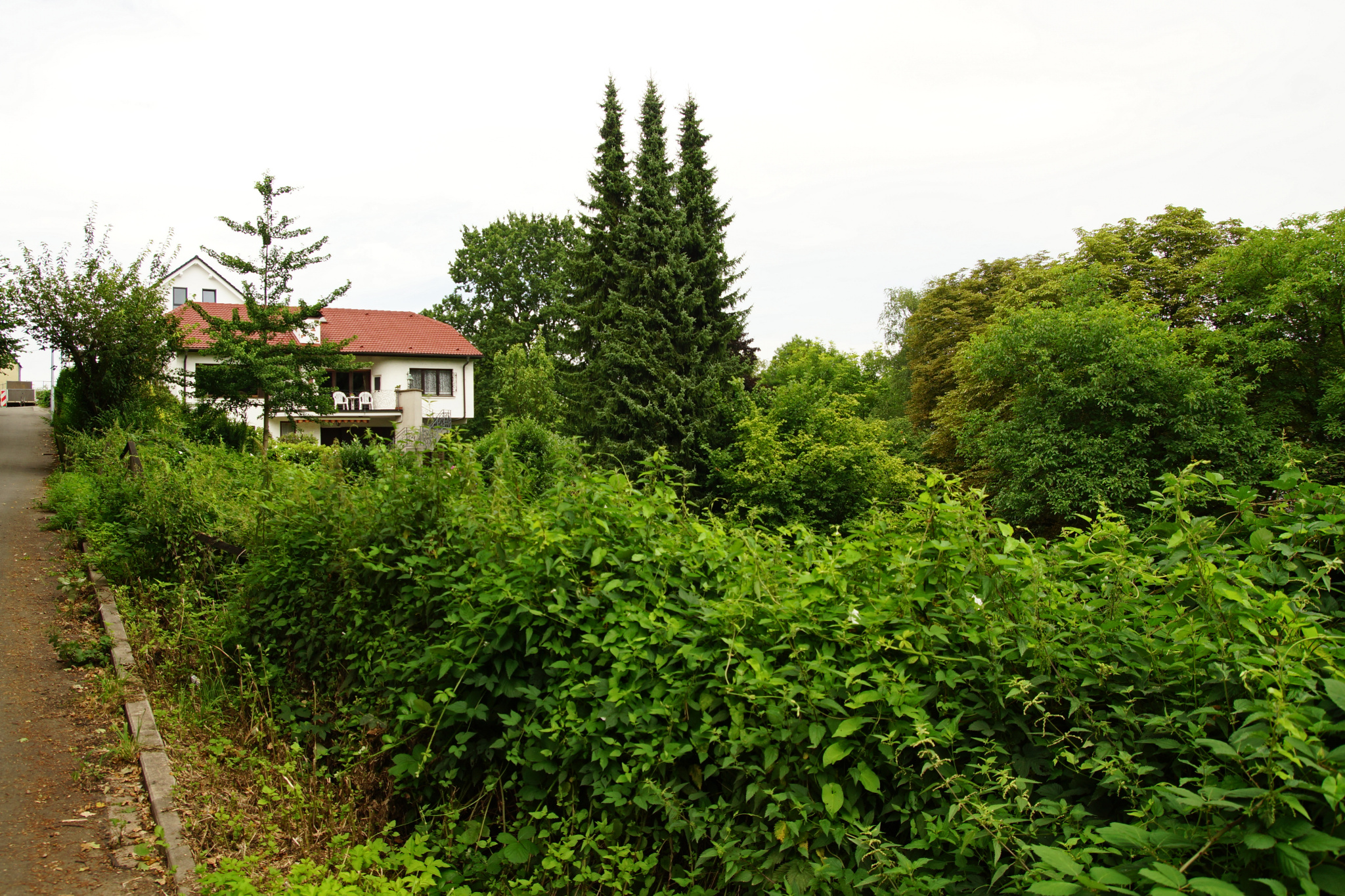
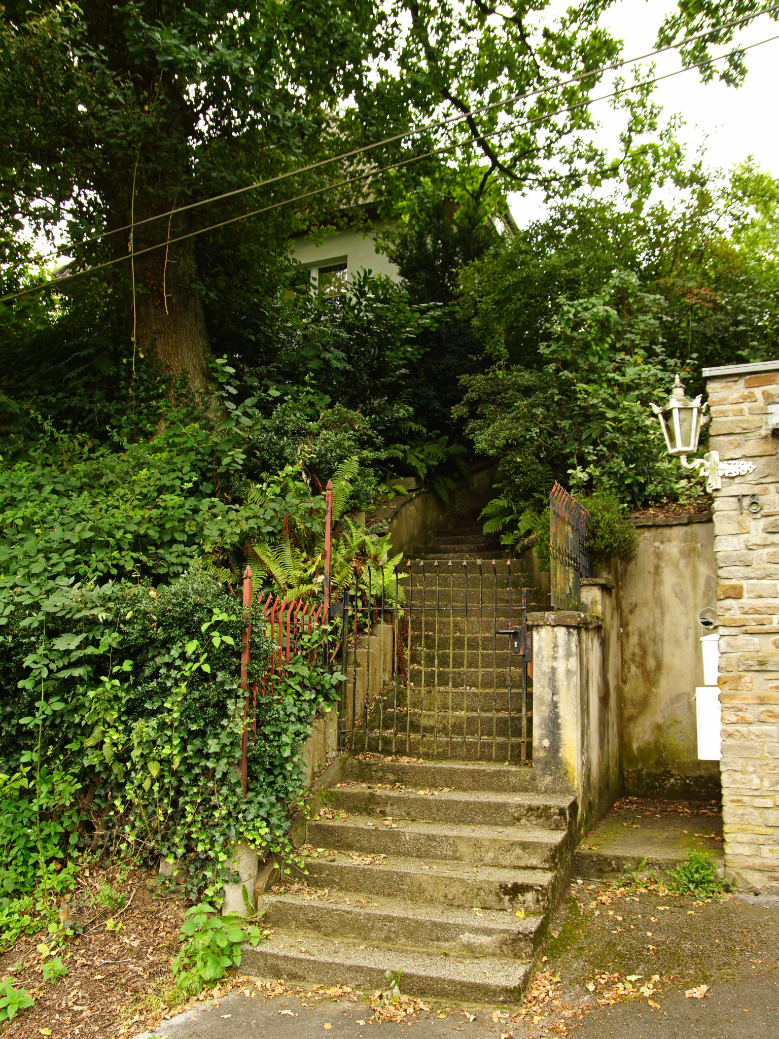
The view back up the path that’s the entrance to Mülheim’s Rumbachtal.
« Google Maps » | Date: 17.08.2017
Comments off
Comments off
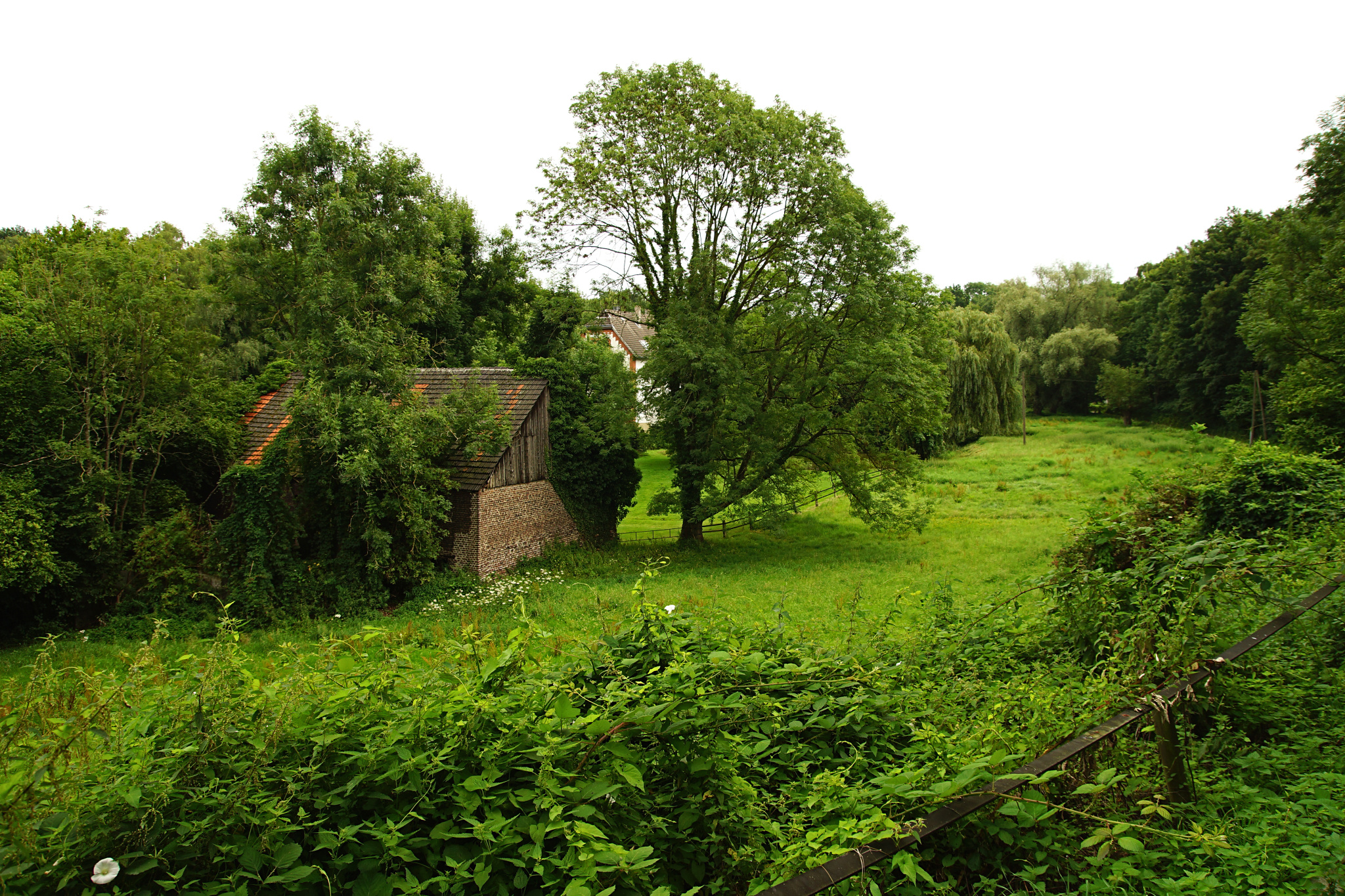
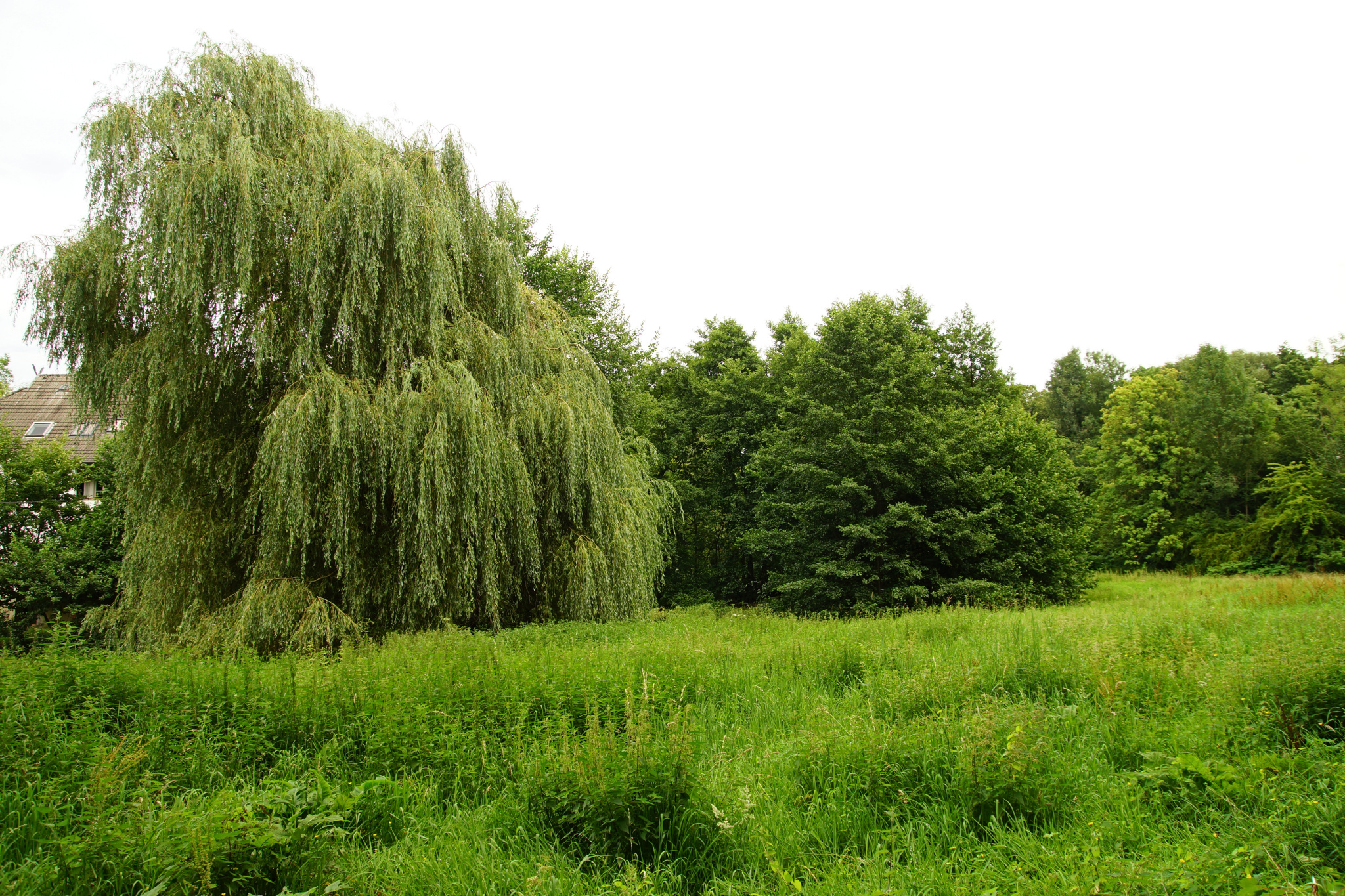
This is what you actually get to see first when you come into Mülheim’s Rumbachtal. I was trying to recreate one of my favourite photos here, but I sort of failed because the sky and light were not that good – but it’s still a nice view.
« Google Maps » | Date: 17.08.2017
Comments off
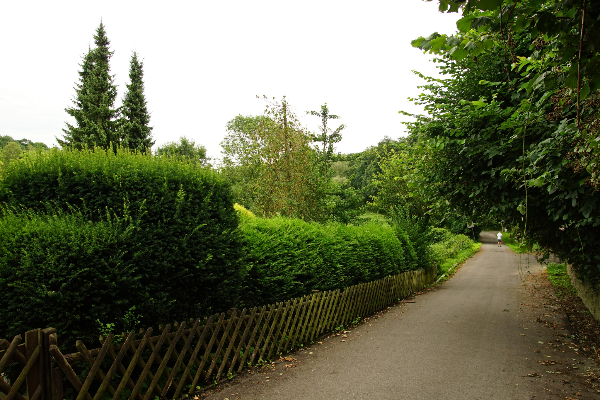
This is basically the West entrance to Mülheim’s Rumbachtal – a little valley named after the creek called Rumbach that was once running all the way through the inner city into the river, but nowadays mostly flows underground. The only place you can actually see it is in the Rumbachtal!
« Google Maps » | Date: 17.08.2017
Comments off
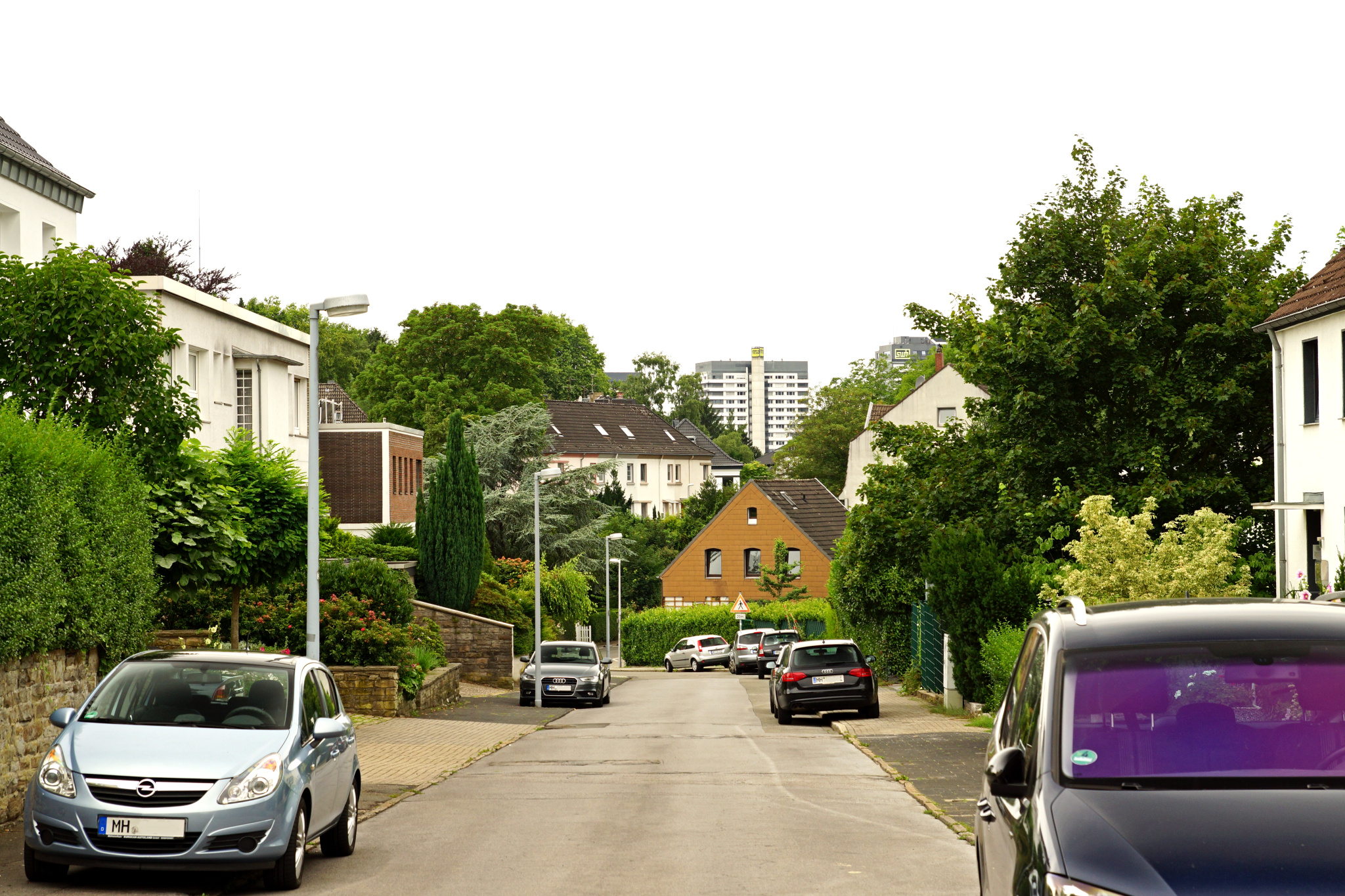
Looking down a steep road – with the inner city highrises in the far background!
« Google Maps » | Date: 17.08.2017
Comments off