BLOG
BLOG
 GALLERY

 Search
 Links
Links FAQ
FAQ

River Views #242: Early Summer #29
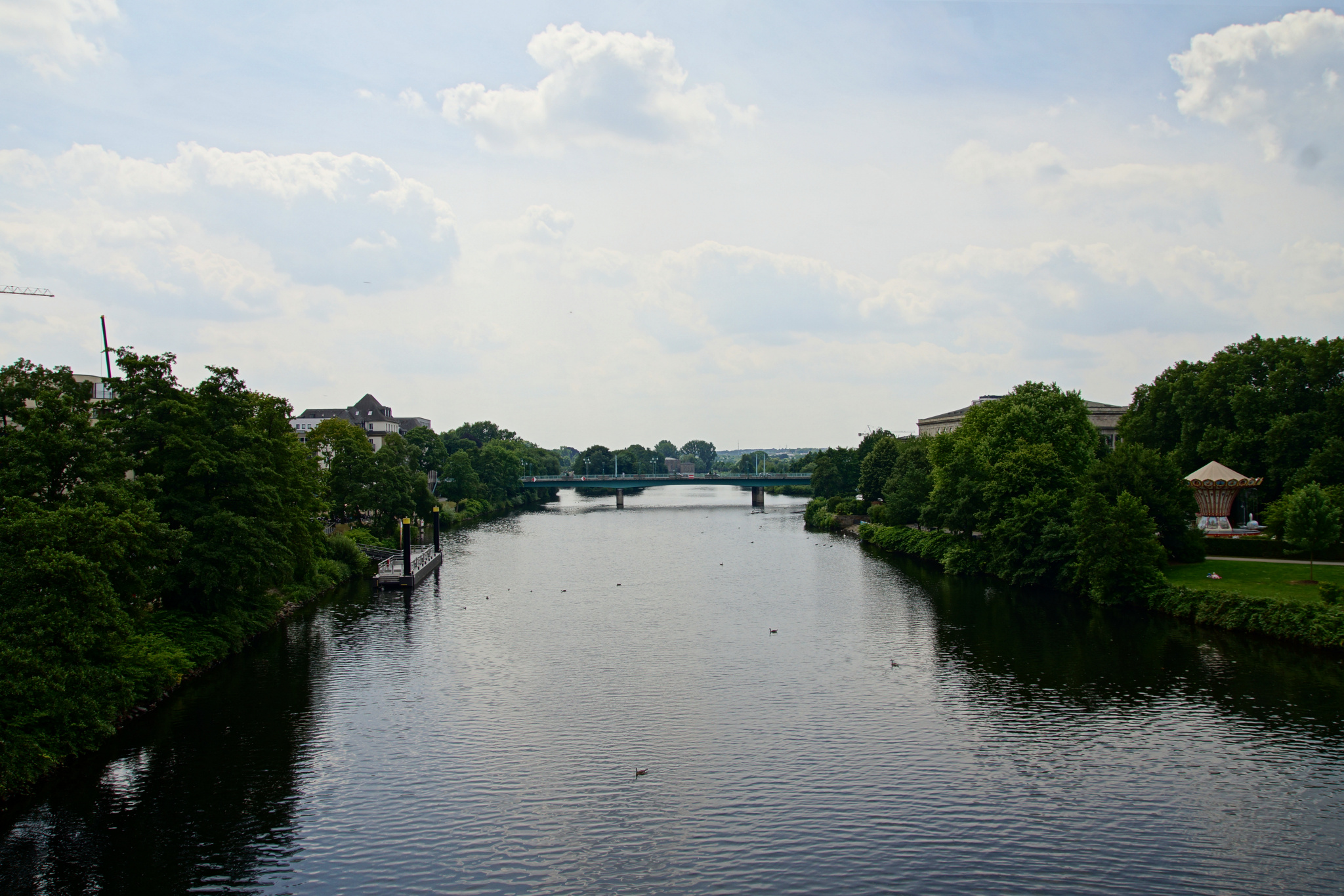
The view from Mülheim’s old railway bridge to the south with the Schloßbrücke in the distance.
« Google Maps »
Comments off
The view from Mülheim’s old railway bridge to the south with the Schloßbrücke in the distance.
« Google Maps »
Comments off
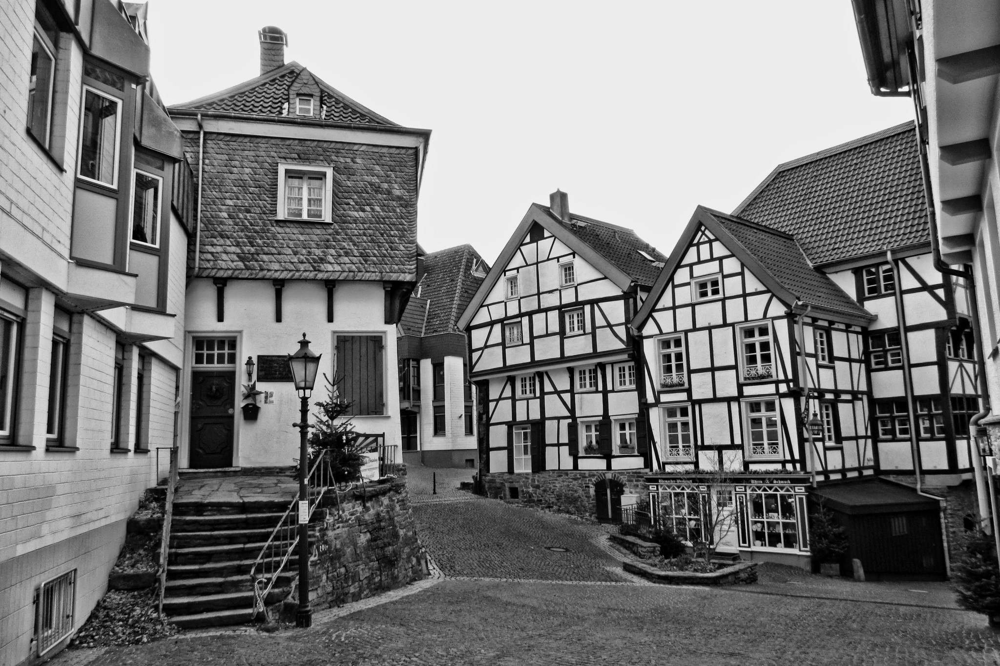
This is Mülheim’s historic inner city, also known as the Kirchenhügel or Church Hill because the two churches of the city center are here. In this iconic shot of the historic houses of the area, the protestant Petrikirche is actually behind me. I’ve actually shown this perspective couple of times before, but those are new photos from last December. On the left is the Tersteegenhaus, a small local history museum and the two timer-framed houses on the right belong to the Mausefalle, which I’ll show later in the series.
« Colour Version » | « Google Maps » | Date: 16.12.2016
Comments off
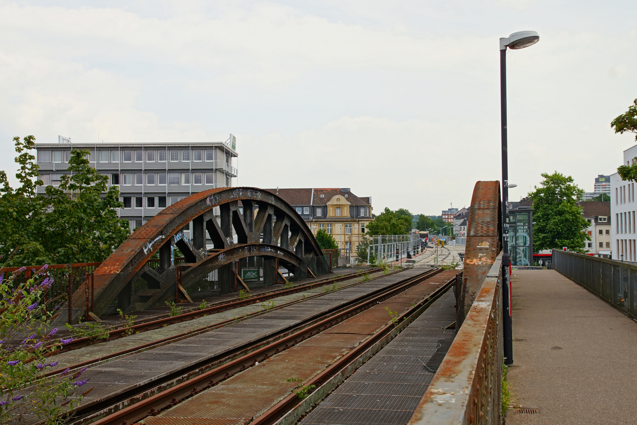
The new pedestrian and bicycle path through the inner city is almost ready – but they haven’t yet started work on the bridge itself.
« Google Maps »
Comments off
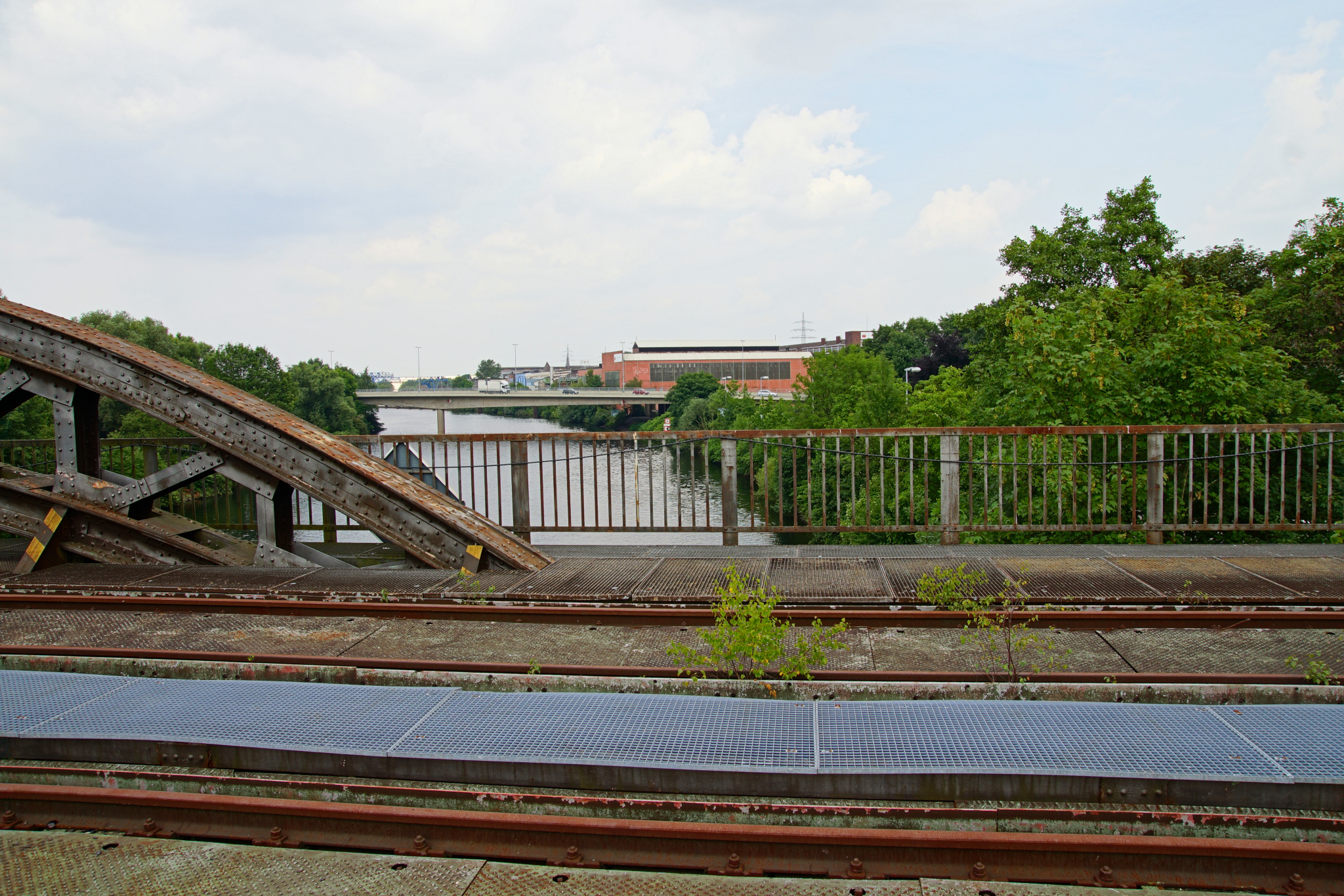
The somewhat unexciting view from the railway bridge to the North, with some steel industry in the background – the old Mannesmann Röhrenwerke and the Friedrich-Wilhelm-Hütte.
« Google Maps »
Comments off
Comments off
Comments off
Comments off
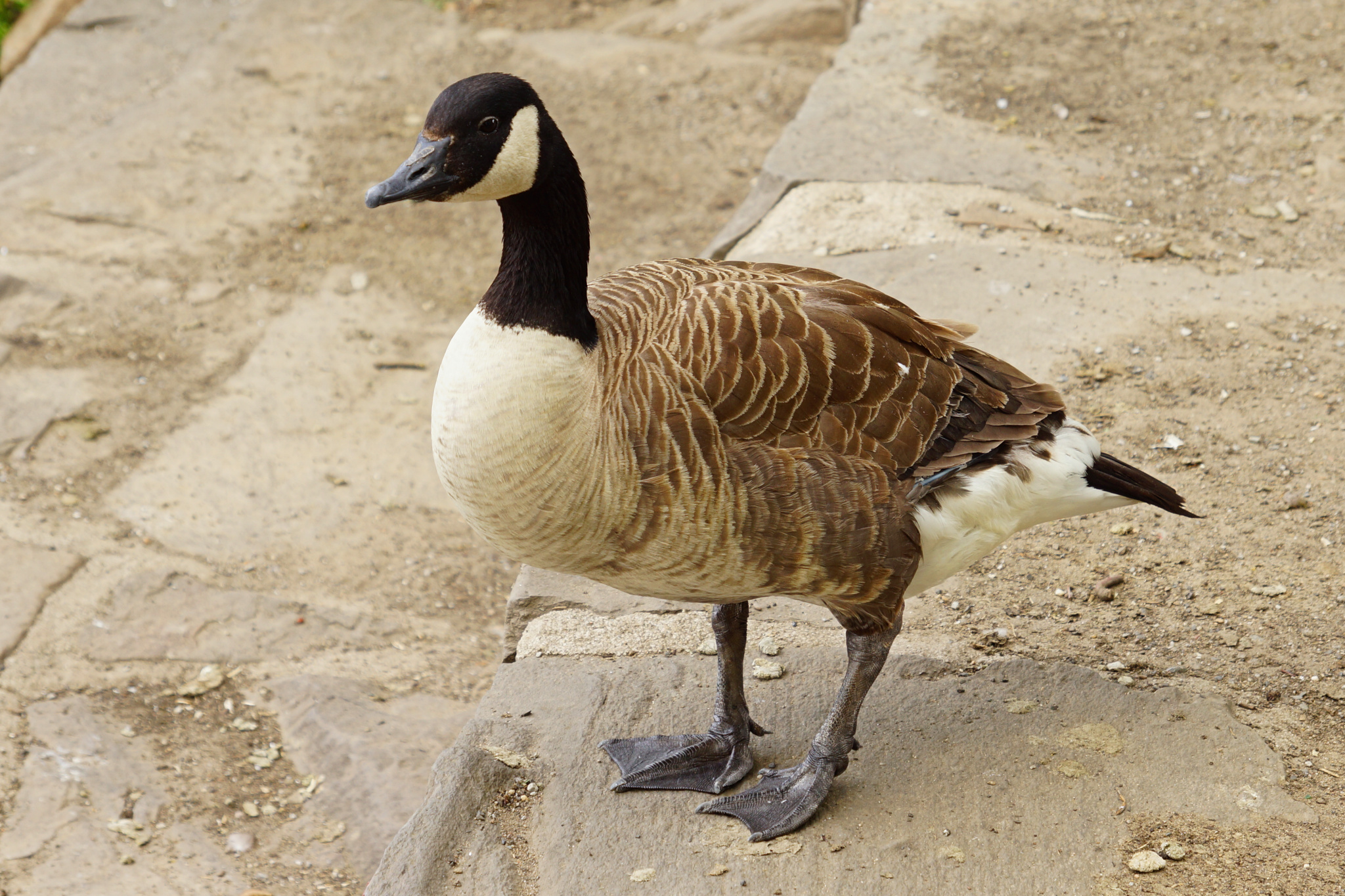
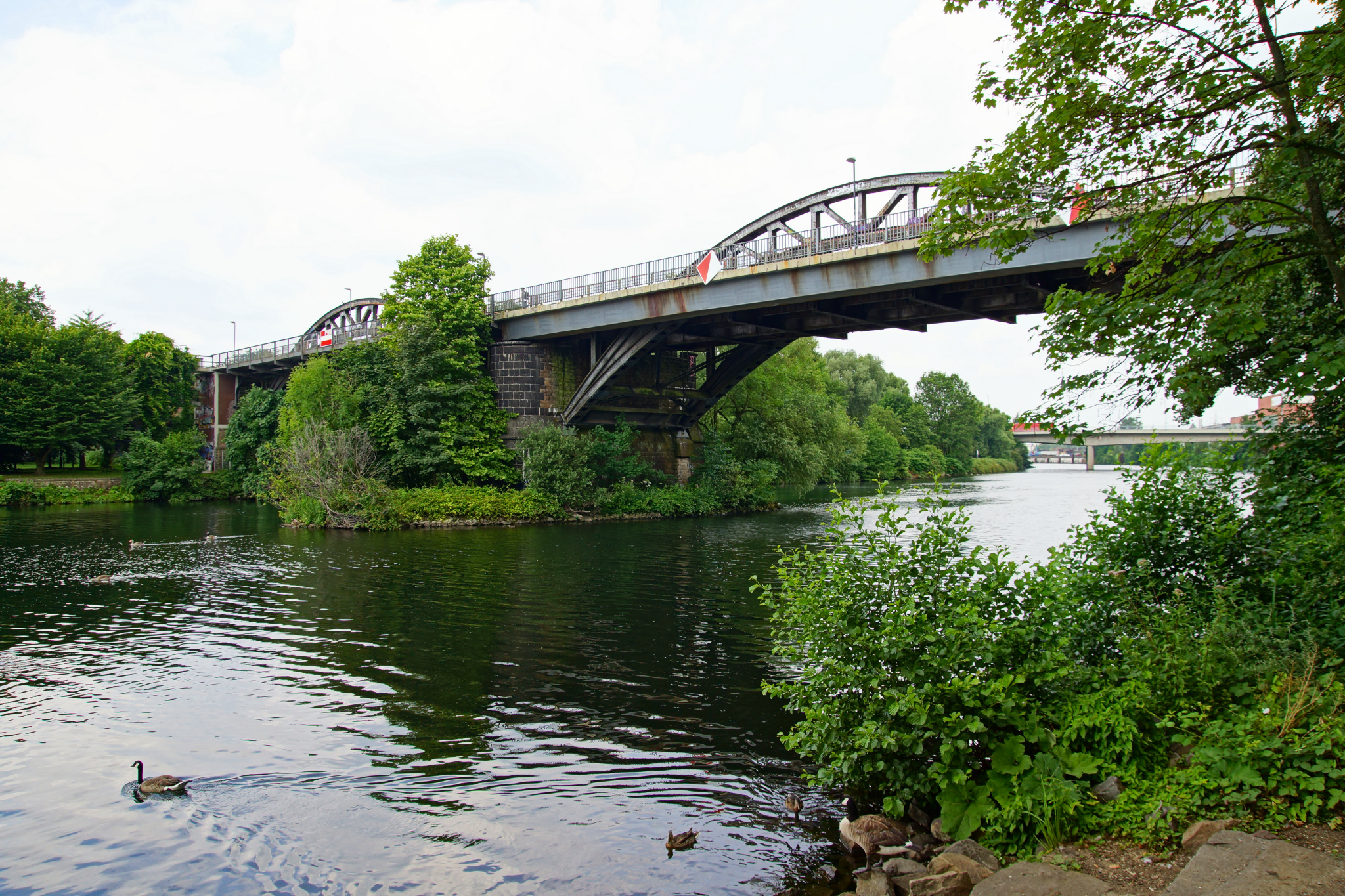
The Canada Geese are pretty fearless around here,
you can stand right next to them and they don’t mind!
« Google Maps »
Comments off

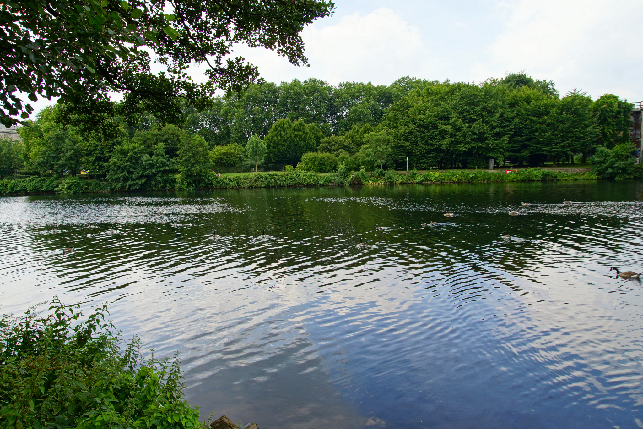
Just a small group of Canada Geese – there are never more than five or six together!
« Google Maps »
Comments off