River Views #1191: Over the Bridge 6
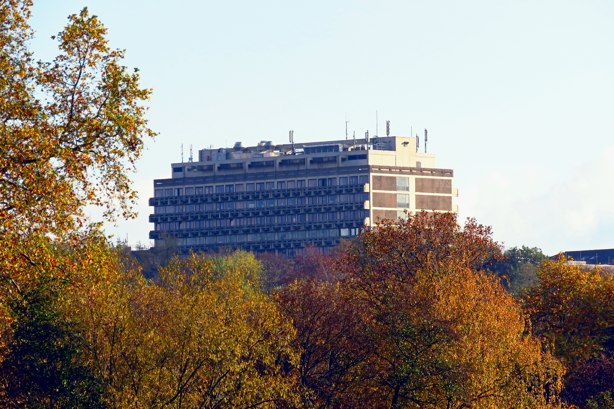
A sort-of closeup of Mülheim’s Max-Planck-Institute for Carbon Research, from a distance of about 1.2 Kilometers.
« Google Maps » | Date: 14.11.2020
Comments off
A sort-of closeup of Mülheim’s Max-Planck-Institute for Carbon Research, from a distance of about 1.2 Kilometers.
« Google Maps » | Date: 14.11.2020
Comments off
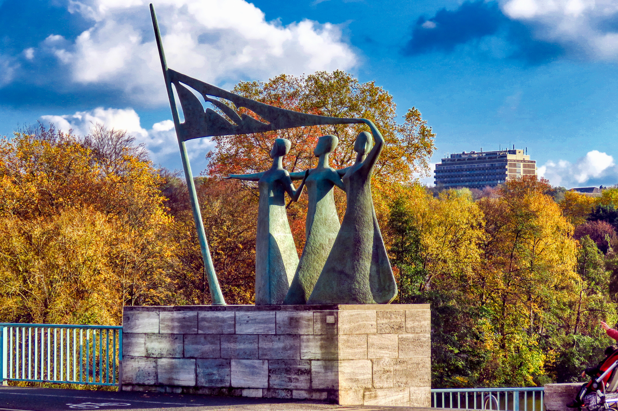
From the West bridgehead of Mülheim’s Schloßbrücke you can see the statue of the ‘Three Graces’ and over a kilometer further southeast the Max-Planck-Institute for carbon research high upon the Kahlenberg.
« Google Maps » | Date: 14.11.2020
Comments off
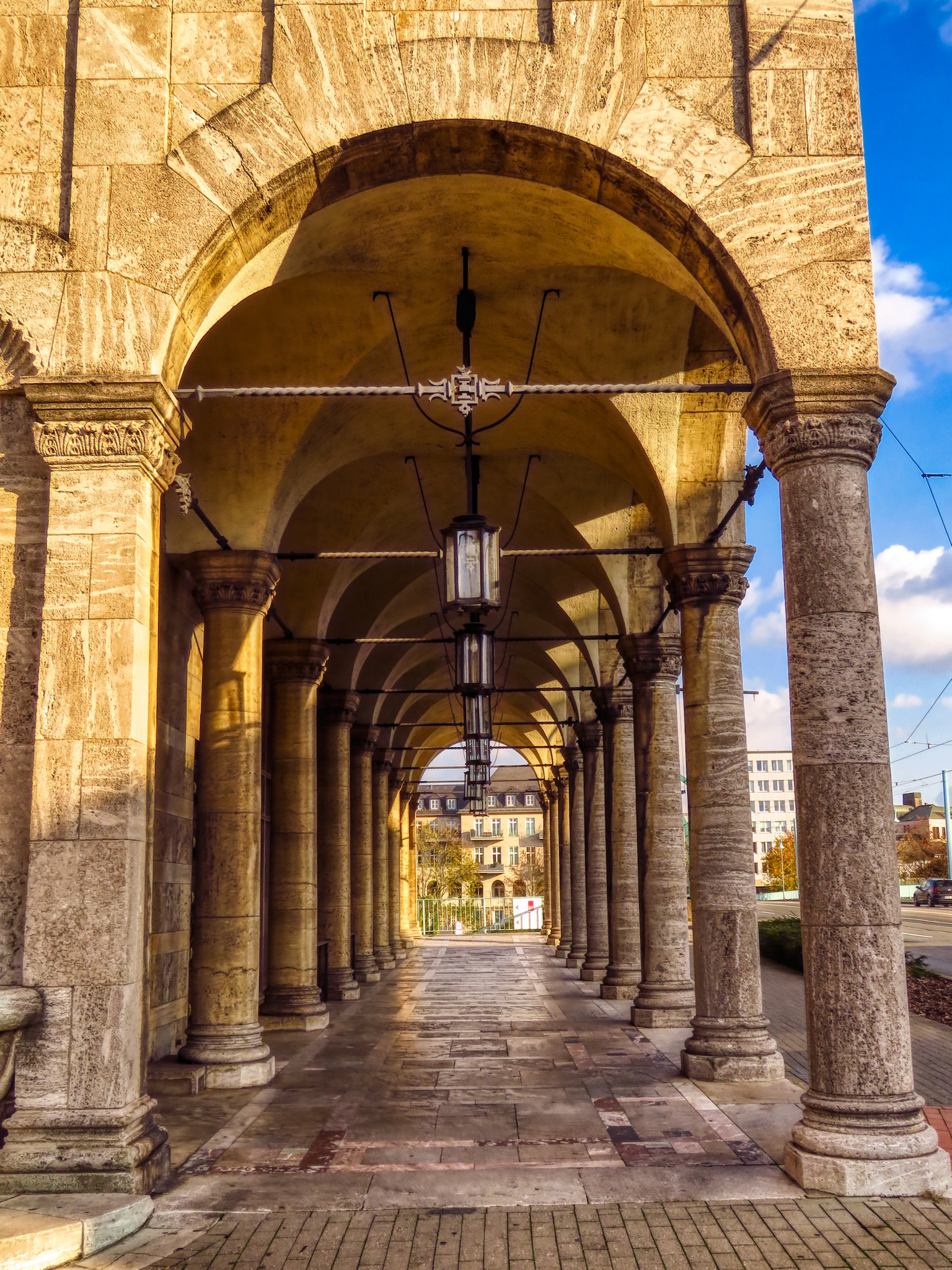
Mülheim’s Stadthalle borders right on the West bridgehead of the Schloßbrücke, where you can walk through these wonderful arches onto the bridge or down the stairs to the left to the riverbank.
« Google Maps » | Date: 14.11.2020
Comments off
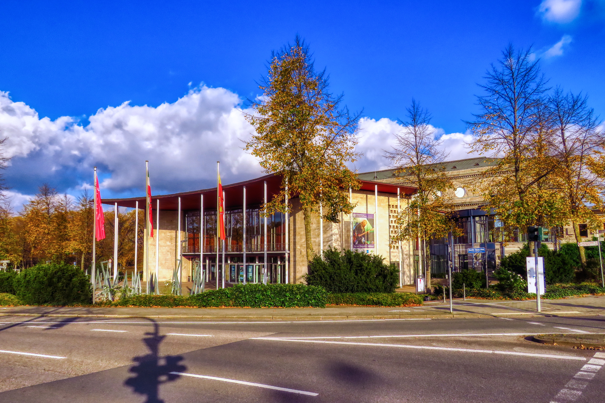
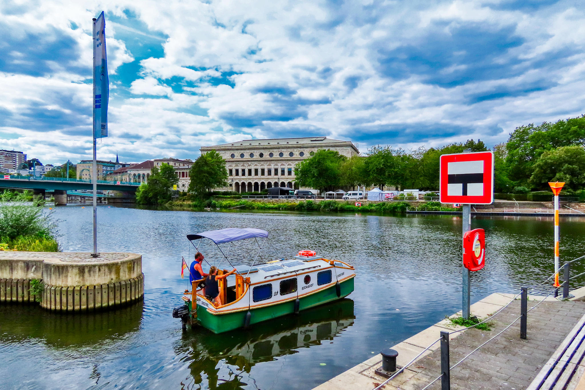
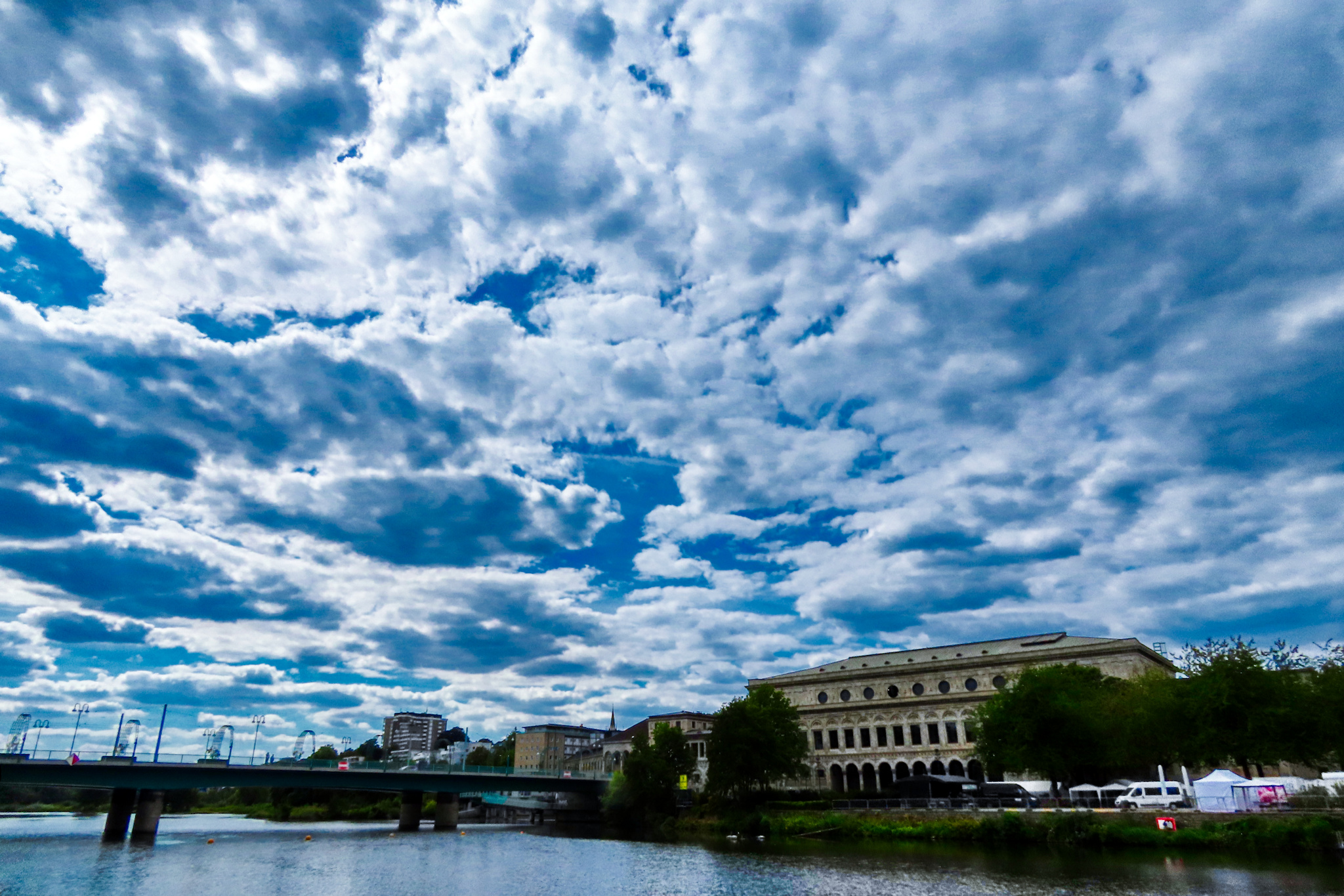
Mülheim’s Stadthalle from the “rear” – which is actually the front entrance of the concert and theatre venue across the river from the inner city. This foyer was added in the 1950 when the hall was reconstructed after the second world war.
« Google Maps » | Date: 14.11.2020
Comments off

When you’re standing next to Mülheim’s Schloß Broich on the West side of the river, you can look right across the Schloßbrücke and see the Petrikirche on the Kirchenhügel, the hill that is the center of the old historic inner city.
« Google Maps » | Date: 14.11.2020
Comments off
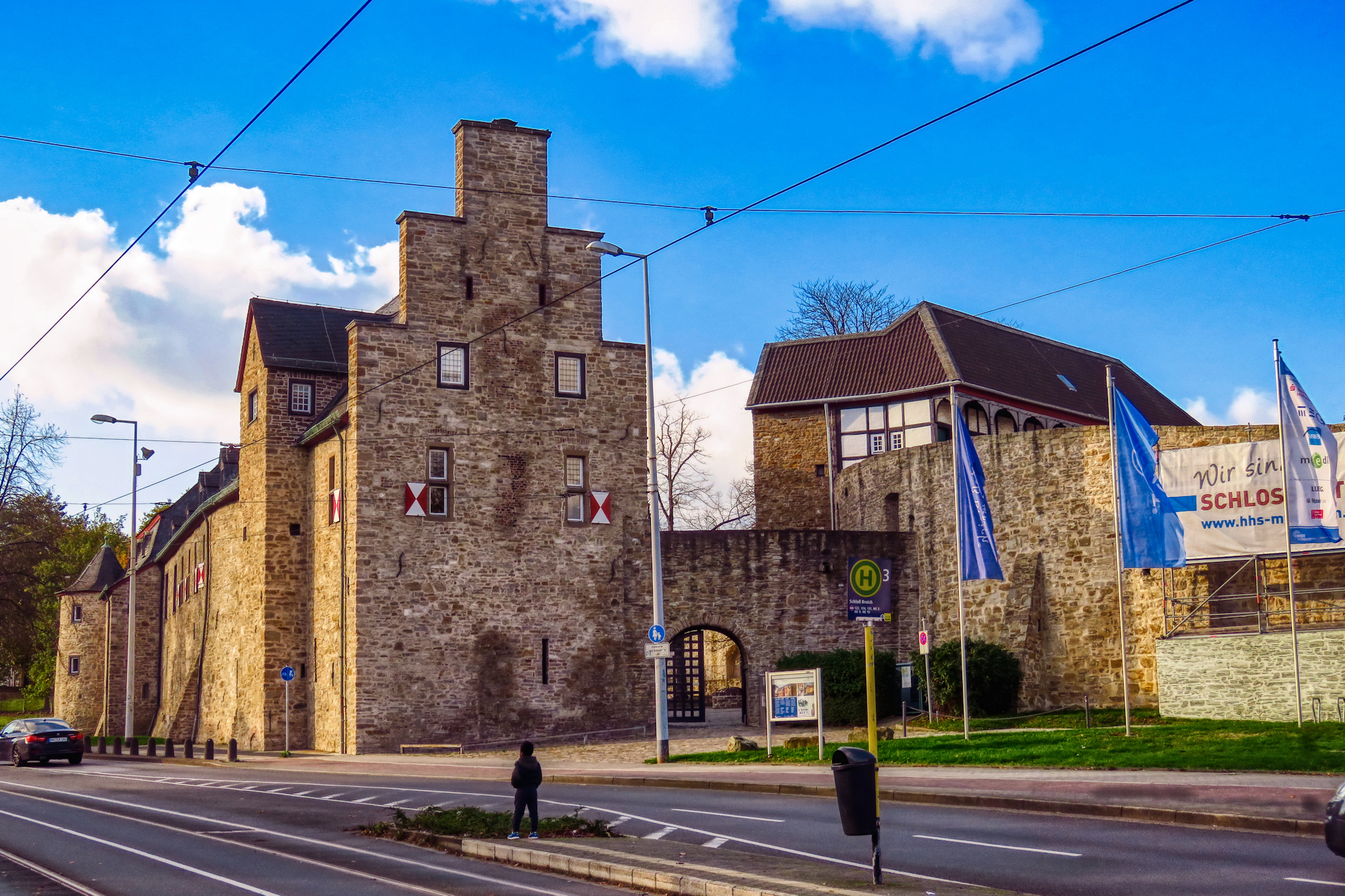
I’ve run out of city photos, but I found a few shots from 2020 with a little walk over Mülheim’s Schloßbrücke, which is named after the castle Schloß Broich near the West riverbank across the inner city. This is where our city had its origins around the 9th century.
« Google Maps » | Date: 14.11.2020
Comments off