BLOG
BLOG
 GALLERY

 Search
 Links
Links FAQ
FAQ

River Views #307: Southwards 53
Comments off
Comments off
Comments off
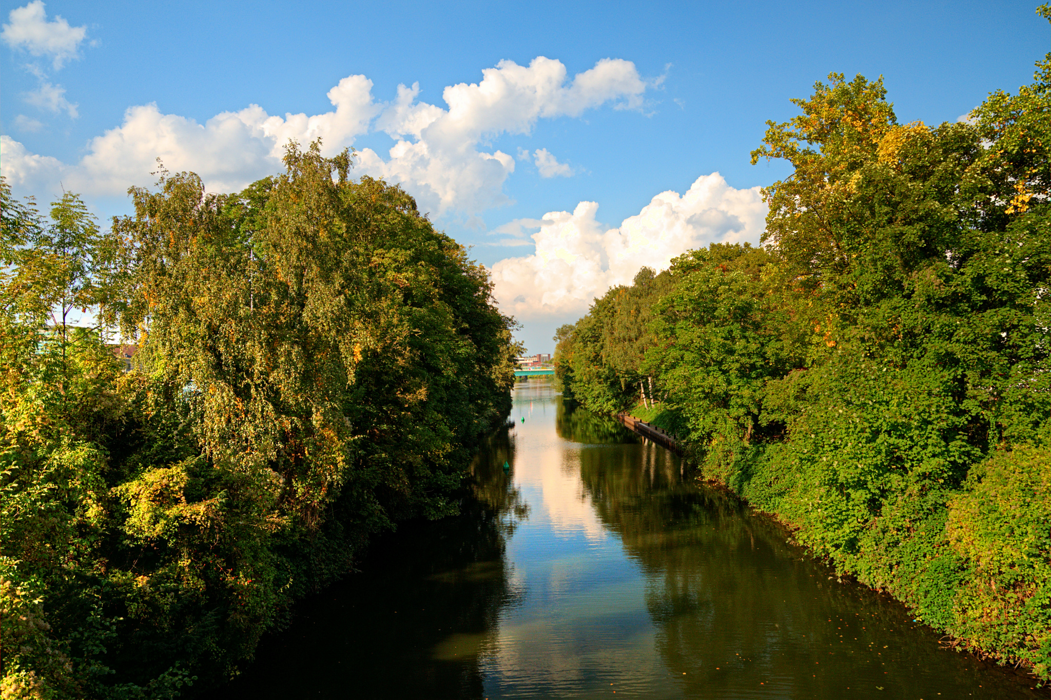
This is the North side of the channel from the ship’s lock at Mülheim’s Wasserbahnhof – at this location, you’re actually standing on the bridge that is the top of the lock itself.
« Google Maps »
Comments off
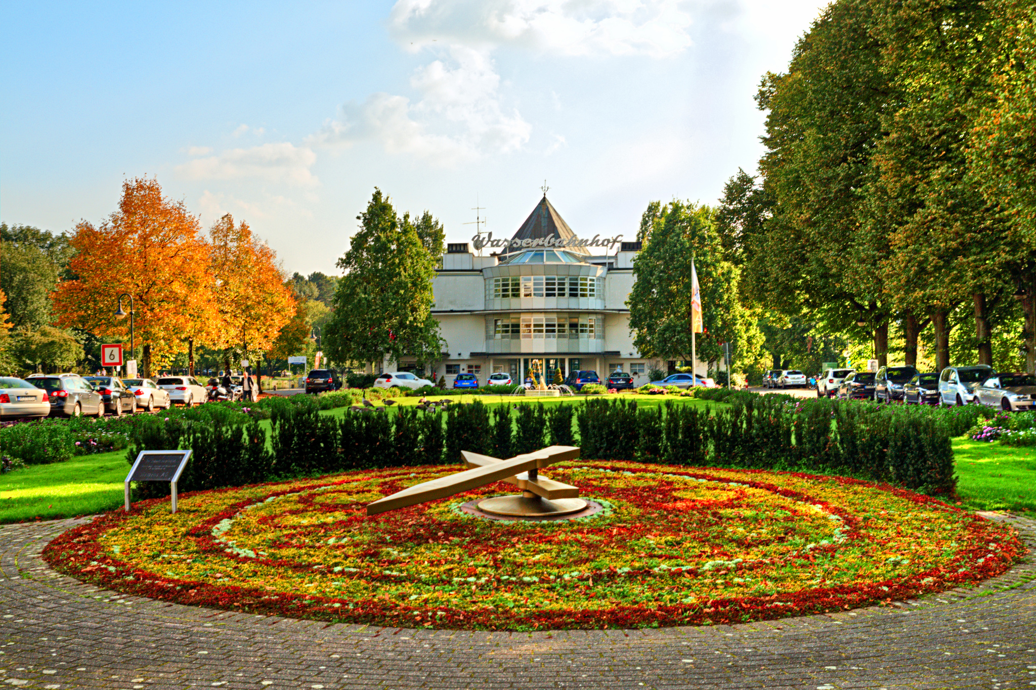
The classic view of Mülheim’s Wasserbahnhof with the floral clock in the foreground.
« Google Maps »
Comments off
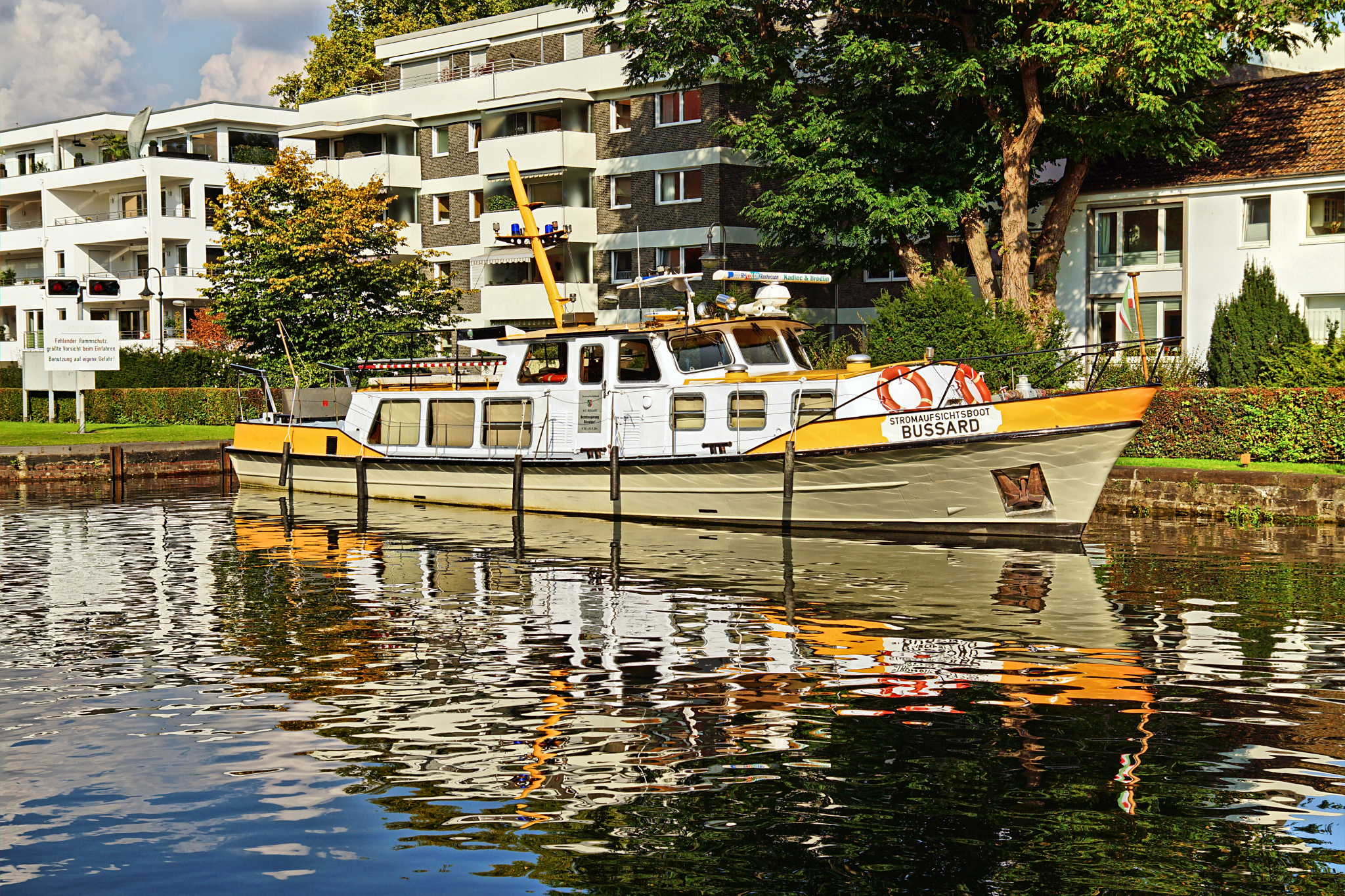
This is the MS Bussard, the river policing ship that is almost always moored to one side of the ship’s lock entrance at Mülheim’s Wasserbahnhof. I’ve actually never seen it on the river itself, maybe it’s retired.
« Google Maps »
Comments off
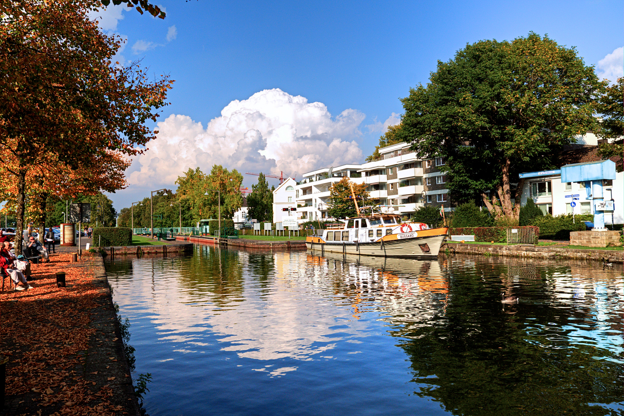
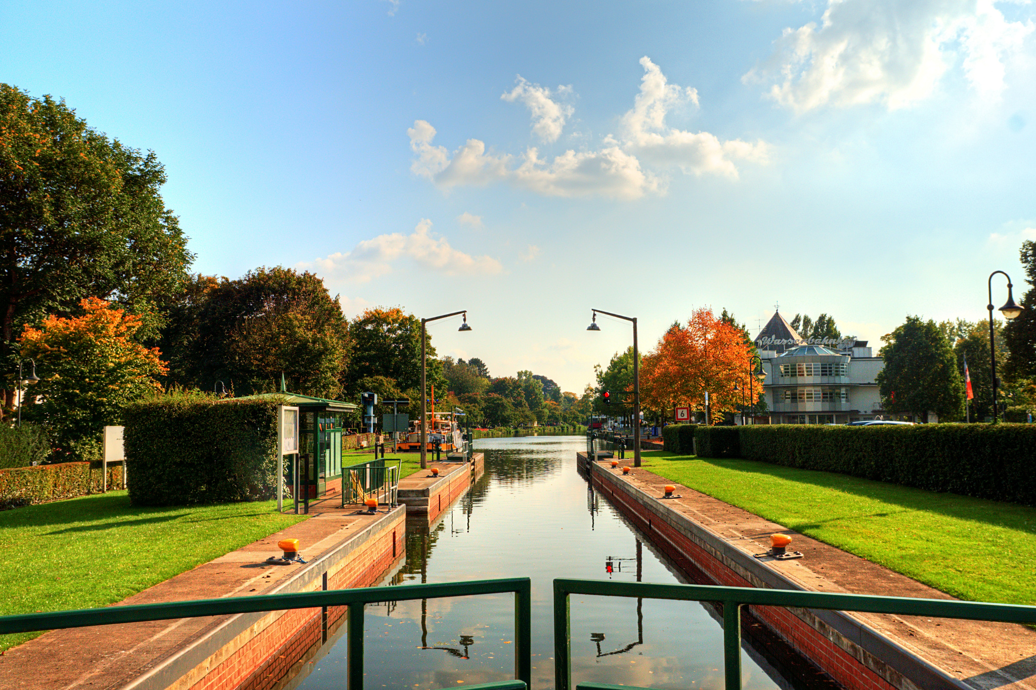
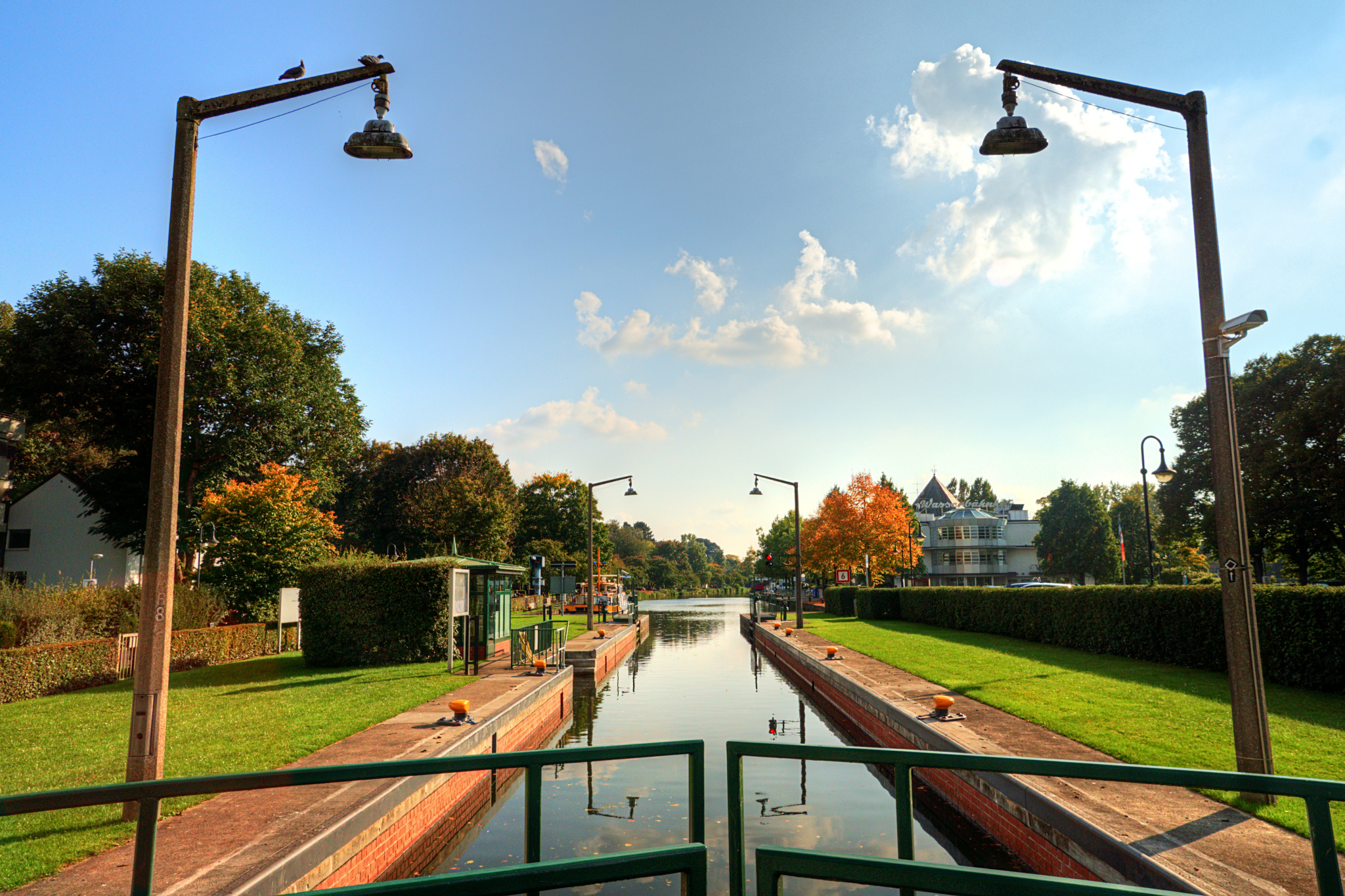
The North end of Mülheim’s Schleusenkanal at the Wasserbahnhof – you can see the ship’s lock here which has been at this location since the mid-1800s.
« Google Maps »
Comments off
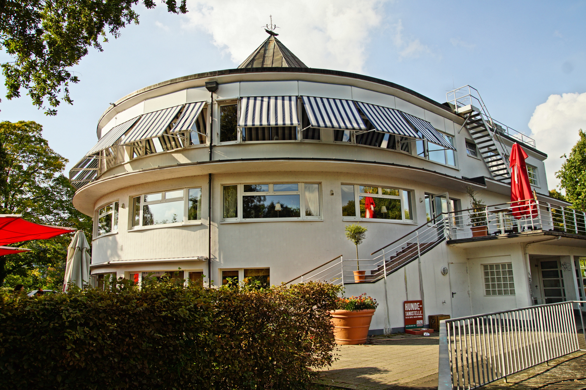
This is Mülheim’s actual Wasserbahnhof, the round building with its distinctive pointy roof that houses the headquarters of the Weisse Flotte and a restaurant. It was originally built in the mid-1920s and was extensively renovated in the early 1990s.
« Google Maps »
Comments off
Comments off
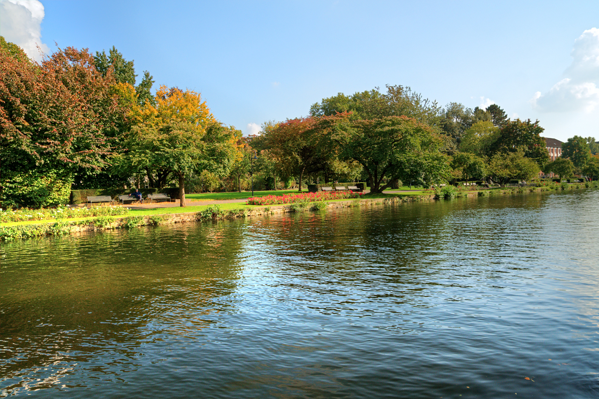
Looking to the other side of Mülheim’s Schleusenkanal – the river arm that leads towards the ship’s lock at the Wasserbahnhof. This is the reason why the water level is so high here.
« Google Maps »
Comments off
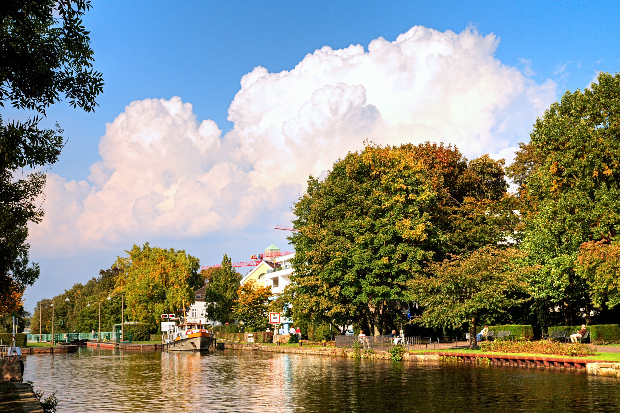
This is actually the ship’s lock right next to Mülheim’s Wasserbahnhof, where all ships traveling further North have to go through. It’s also the main pier where the Weisse Flotte is at home.
« Google Maps »
Comments off